Global Utility Services uses a variety of tools to collect field asset information to develop new system data or update a utility’s existing data. We routinely update our collection assets as technology advances in order to provide our clients with the most reliable and accurate databases available.
Our powerful data processing software allows us to export our data into formats compatible with nearly all information management systems such as ArcGIS, ManifoldGIS, NISC, Milsoft and Futura. Our data collection software allows us the flexibility to develop individual data dictionaries tailored to meet each of our clients specific needs.

Highlights
- Up to Sub-Foot Accuracy
- Floodlight Technology for increased accuracy in areas where satellites are masked
- Global Navigation Satellite System tracks more satellites (US, Russian, European) for increased accuracy
- Data capable of being exported to 18 different formats
- Customized Data Dictionaries
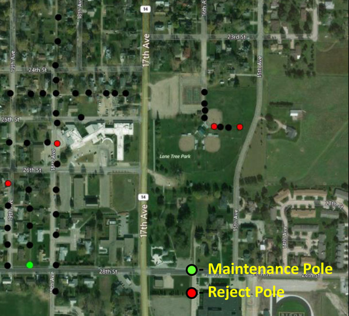
End Products (submitted weekly or as requested)
- Customized Inspection Reports (Excel Format)
- Customized Inspection Maps
- Properly formatted database
- Post Inspection Analysis
- Targeted Reports (upon request)
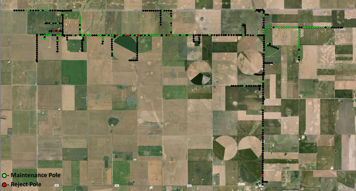
Rural Map

We always offer competitive prices and a service guarantee, so don’t hesitate to call us for a quote.
